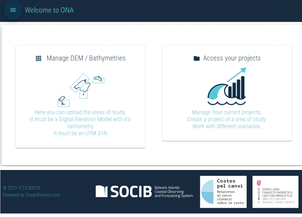
Welcome to ONA Toolbox
Developed by OceanDrivers in collaboration with SOCIB, the ONA Toolbox is a groundbreaking tool for climate adaptation planning. Utilizing topo/bathymetry inputs and machine learning simulated storms, it allows users to model the effects of a severe storm under various climate change scenarios.
Beyond storm propagation, modeled through the use of Swan wave simulations and lisflood flood simulations, the ONA Toolbox can also predict future beach erosion. This powerful feature makes it an invaluable asset for long-term coastal management, enabling strategic responses to climate change impacts.
Automátic result generation

Wave height worst moment
Capturing the intensity of a storm’s worst moment, this striking photo showcases the Swan output within the ONA Toolbox, developed by OceanDrivers in collaboration with SOCIB.

Extreme listflood flood
Behold the dramatic aftermath of an extreme flooding event, exemplifying the remarkable capabilities of the listflood flood model within the ONA Toolbox.

Erosion map
The image beautifully depicts the erosion observed in the maximum, minimum, and median scenarios, calculated using the powerful ONA Toolbox software. This visual representation highlights the varying levels of land degradation, providing valuable insights into erosion patterns within the studied area.

2D Cut of wave model
The vertical section presented here displays the outcomes of a wave model, specifically showcasing the rise of sea level. This visual representation, generated through the use of the ONA Toolbox software, provides valuable insights into the vertical dynamics of waves and highlights the changes in sea level across the studied area.

Mean beach erosion
This visualization showcases the mean value of beach erosion and the recoil of beach sand. It offers a comprehensive understanding of the average magnitude of erosion and the subsequent changes in sand deposition along the shoreline. Calculated using the powerful ONA Toolbox software, this information provides valuable insights into the dynamic nature of beach environments.
Our Work
We are proud to introduce our desktop web app, built using our innovative Framework. This self-installable program seamlessly combines the power of two separate models, SWAN and LISTFlood, within a single unified interface. It simplifies the process by automatically generating the necessary configuration files and seamlessly integrating the outputs of each model as inputs for the coupled models.
One of the most intricate aspects of this development is the regridding and reprojection of the diverse outputs onto a map. This complex process ensures that the data from both models align correctly, providing a comprehensive and visually coherent representation of the combined results. Our cutting-edge technology seamlessly handles this intricate step, resulting in a user-friendly interface that simplifies the analysis and visualization of the integrated outputs.